Didn't find it?
RSS feed from Feedburner

 Subscribe to this Blog ?


Sundar Narayanan's Travelog

↑ Grab this Headline Animator


Just another spider on the web
Squarespace
Powered by Squarespace
Archives
Blog Index
The journal that this archive was targeting has been deleted. Please update your configuration.
Navigation

Entries in trails (38)

Tuesday
Jun282022

Clouds Rest - a hike to remember

This blog has not seen an entry for more than two months. A lot has happened since. A quick trip to India to combine work with family, a return to the US followed by heavy jet lag, getting way too busy at work to catch up on blogging, singing etc. 

However, every alternate week, there has been a hiking trip and I will get to those blogs soon enough. The highlight of all those recent hikes, is the one to Cloulds rest, in Yosemite the past weekend.

It is the best hike to date since we started hiking during COVID shutdown. An unforgettable experience. Wife is part of a hiking group where they get permits and call for folks to take up open spots. She informed me two weeks ago that we are going to do a overnight camp and a hike. 

The original plan was to:

start Saturday morning, reach Yosemite by 9AM, take a break at the gate after getting the permit paperwork, meet the rest of the group (no cell signals there!) and then drive to the starting point of the Cathedral lakes trailhead, hike with the backpack to a halfway point, camp at 9000 feet overnight, then hike up to Clouds rest Sunday morning and be back Sunday afternoon, drive back.

We made it to the trail head on Saturday as planned. We were just starting the hike on Saturday when there was a thunder storm with heavy hail! There was ice and slush everywhere.

We had to come back and find a camp site in short notice. We were lucky enough to find two spots in Tioga lake. The ground was dry here already!

That also meant, we had to do all the 15+ miles of hiking on Sunday. 

My shoes and clothes were all wet walking from parking lot to the place where rest of the group were waiting. That made it very difficult to walk the rest of the day and the following day. We tried to dry the shoes by putting it near a half assed fire.. and trying to keep it inside the tent! It was hilarious. I did walk the next day in damp shoes and got blisters on four of my toes. 

We spent a beautiful evening around Tioga lake and enjoyed chatting, had masala chai and did a 3 mile walk around the lake. It was just beautiful and serene, with Mount Dana in the background.

What is a hike without a "chaifie"?!

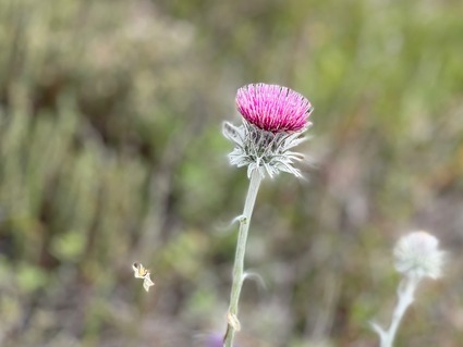
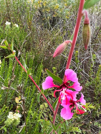
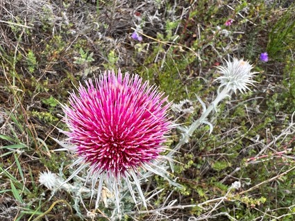
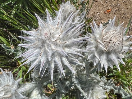
Every 100 feet, my macro mode in the iPhone was put to good use to zoom in on small flowers. The rest of the group were amused by my love for the macro shots.. (most of these next photos are of flowers the size of my thumbnail or smaller!)

We ate what we had packed and went to sleep at 8:30 when it was still light outside. We had to get up at 4:30 AM to pack up the tents etc. That was a challenge without gloves, especially when the dew outside the tent has condensed.. having the right gear makes all the difference!

We drove to the trailhead after the quick packup on Sunday morning, and did the hike to Cloud's rest and back as a day hike! The weather report said 42 F lows but it ended up being below 30F in the night. Given the lack of proper sleep from the cold on Saturday night, our group split into two. The folks who couldn't sleep well hiked up to Sunrise lakes which was a 7 mile round trip and the other three went up!

Yosemite trails are not like the local trails. At most places, you have to eenie meenie miney mo to decide which path is the trail and which is not.. it is a bunch of rocks thrown together with some kind souls trying to mark the path with same rocks..

The views were amazing and we were mostly smiling and laughing all the way to the top.. left to my wife, I would have had to do this in half the time, but thankfully I had company and we went at a steady pace! This also made sure that she was in pictures with me!!

At 10,000 feet the air is thin and breathing gets to be hard, but we had fun doing this hike. On the way up, we went at a steady pace of 1.5 miles an hour.

The last 0.3 miles of this hike is a real challenge. There is a knife edge around 3-4 feet wide made of oblong rocks thrown on top of one another.. You have to put down your backpacks and walk the edge to go to the top and get a breathtaking view of the entire valley below!

At one point there is a two to three feet gap on the rocks and you either have to jump down and climb back up, or do an Indiana Jones "leap of faith" step across the rocks! Taking a photo of that would put the photographer at even more risk.. and San refused to do it. She came down and went back up and we missed a chance to capture Sangiana Jones! Maybe another time.. if there is one!

You get a 360 degree panorama of the entire thing from this point!

No photographs do justice to what we saw.. a video at the end of this post captures the knife edge a lot better.

While coming down we were much faster but the direct sun and mosquitos made it very difficult for me. Got nausea in the last three miles down. It was also a non stop descent. So took a 3-5 minute break every half a mile and made it back. After a 5 minute stop in the parking lot, started driving back right away!

We were treated to more amazing views on the way down.. but you stop walking, the insects start having you for lunch!

Made another 10 minute stop at the Pizza Factory in Groveland to grab a lemonade and kept driving. At some point we started smelling burning stuff inside the car. Kind of freaked out and drove the last 100 miles at 55 mph with minimal breaking! Turns out the brake pads and rotor were burnt and we were lucky to make it back.. The tire treads also wore out completely! The car has had an expensive makeover now after this trip as an unwanted side effect. 

All said and done, we had quite an adventure and were glad to make this trip. While waiting for the hail storm to subside, met a lady who had just come back after climbing Cathedral peak (ropes and all) who told me "there is no such thing as bad weather in Yosemite, only bad gear! you should have bought water proof shoes and dri-fit clothes and better equipment to camp even on ice! but looking at you now, you don't stand a chance of going up now and camping". We were lucky to find those spots overnight and also lucky to make it a day hike!

Clouds rest is not an easy hike and would not recommend it for kids. Get right shoes, blister free socks, right backpacks which don't hug your back, floppy hats with mosquito nets instead of baseball caps, insect proof clothing, beanies to cover ears during night, gloves that are rated for sub zero temperatures, etc. before trying these hikes. Looks like daddy is going to go shopping soon...

One other thiing.. all the local hikes did not train me for this. There is no clear trail in most places.. we end up scrambling on rocks, sometimes a foot and a half tall. So it takes a toll on the knees. The only training for hiking in Yosemite is to hike in Yosemite! 

A video that captures our weekend..

One more item ticked off the list.. 

We were very fortunate to have lovely company on this trip. Our fellow hikers were truly amazing and we loved the overnight camping and chatting and getting to know the group!

Next dream, Half Dome!

Wife thinks I won't be able to do it.. I am hopeful. Let's see what happens..

Sunday
Apr172022

Soberanes Canyon and Doud peak - the best of trails so far

After the quick visit to Garrapata to see the Lillies, we drove back just a few miles back north and stopped right in front of the bridge view on this park. Then we started hiking up the hills facing the ocean.

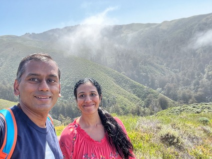
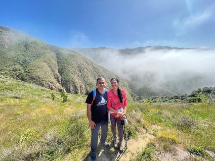
This is the Soberanes canyon trail and most of it was closed for a long time because the fire had started in this very canyon a few years ago. Most of this area is still closed and you hike at your own risk. Given we had a group of folks, we decided to take this on. You cross creeks and go through many distinctly different landscapes.. first there is a bunch of creeks, then there is an area full of catcus and before you know it, you are walking through redwoods.. and just like that, an open area with wild flowers!
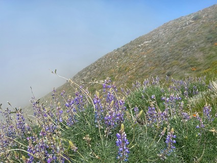
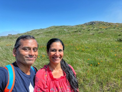
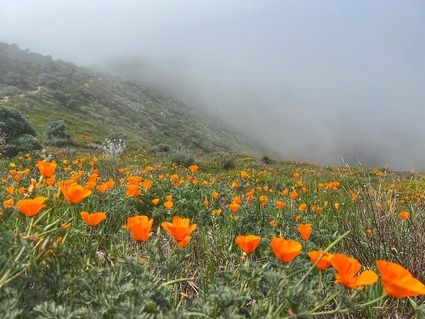
There is a section of this hike, which is the steepest we have climbed in two years. It is almost going up 1500+ feet in just over a mile. You also have to bend your knees and take tall steps. We took our time to go over this stretch but surprisingly, didn't feel the strain, as we were in the clouds for this part and the wild flowers were just amazing!
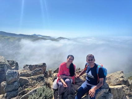
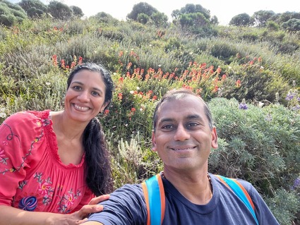
There was every type of California wild flower up there, in full bloom. It was a feast for the eyes the entire way up and down.

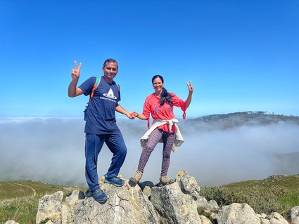
We had an amazing view of all the hills from above the clouds..

On the way down we took the longer route with a ocean view and the lupines make for amazing scenes!

once we got down, we ate a nice lunch, had our chai(for once we didn't carry chai to the top as we knew this was the hardest hike) and crossed the freeway to the bridge view points!

That kalandha saadham feast made sure that any calories burnt during the strenuous hike were instantly replenished and doubled in one tenth the time.. hiking is hard.. eating is easy.. there is a fundamental imbalance in the way we were designed, no?!

Took this one with the iPhone using my buddies sunglasses as a filter..

Again, beautiful views of the ocean. Not many lillies on this creek though.  The walkway was nice and after spending a good 15 minutes here, we raced back to beat the traffic! 

A gallery of the scenic photos.. 

This hike is not for novices. If you are not in decent shape, don't attempt this. There are parts where there is no trail.. the trail has been turned into a mini canyon by running water.. so you literally jump side to side and that does a number on your inner thighs! You can see it towards the end of the video..


After that hike and the drive back, it took a nice day to recover the legs!

Saturday
Mar262022

A sense of completion

We have hiked multiple local peaks and hills and points around Cupertino area since COVID and the resolution to hike every weekend. We had however, not covered the Fremont Older and Stevens Creek preserve in its entireity!

We got a chance to do just that this morning. We covered 10+ miles in 4 hours and went up 1800 feet, all around this local loop.. from our local Regnart Road all the way to Tony Lookout Trail loop. We started before sunrise and went at a decent pace. Came back in 4+ hours including a chai and photo breaks. Definitely one of the long ones this year, but totally worth the effort. 

We got an amazing sunrise view ..

watch the valley still enveloped by fog

and more fog..

this entire area was lush green and the trails were clean and well maintained!

Loving the macro mode on the new iPhone.. this entire thing with the buds and flowers,  is smaller than my thumbnail! 

we went along the reservoir for a nice chai break!

There are a lot of cute little bridges we get to cross on this trail. Everyone of them was beautiful!

when we got back, the fog was still there.. and beautiful

A morning well spent.. and we will do this again someday when we feel like going on another 10+ mile hike. My legs felt the effort from the morning that I took a long nap after! 

A beautiful hike for spring or winter! 

Sunday
Mar202022

Santa Teresa County Park Loop trail

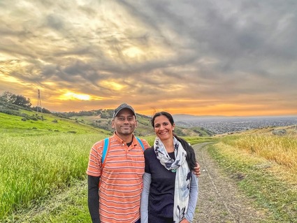
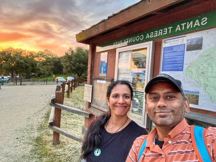
There is this absolute beauty of a trail right in Santa Teresa area. It is the hills next to IBM Almaden. There is a loop trail that starts from Joice trail and goes through Mine trail and Coyote trail, Hidden springs and Bernal Hill to the Vista loop trail. 

It is 8+ mile and pretty steep at places and takes around 4+ hours (by our standards). It is also ~2000 feet elevation gain. A decent workout and a "moderate" trail if you listen to the internet.. if you pace yourself! 

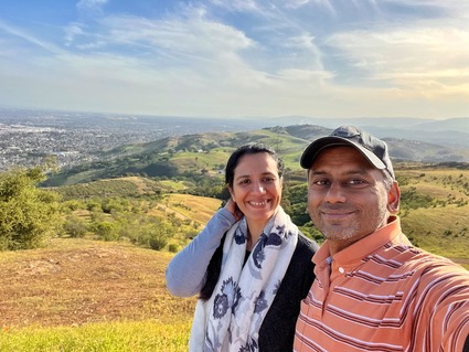
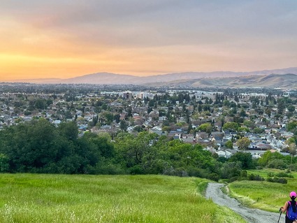
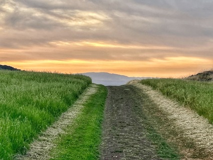
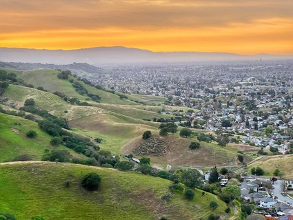
There is a part of this trail at the end that has zero cover. So it is best to do this as a very early morning or late evening hike. The sun setting over the valley is beautiful to watch from the ridge!

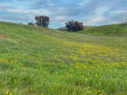
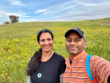
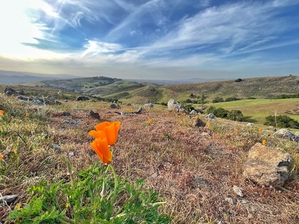
The flowers have started blooming across the hillsides.. the poppies should be there in a week or two to add a ton of orange to the yellows.. 

Strongly recommend this provided you have the right hiking shoes!

There is a one mile stretch on the way back where you are just walking on rocks and gravel. Not much of a path and the feet don't land evenly. Many of us almost twisted our ankles, but would still recommend it. 

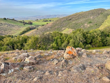
Here are more pictures.. 

Thoroughly enjoyed this hike.. and the chai at the top of the summit! That is one good thing that has become tradition already over a year and a half of hiking! 

COVID got us started on hiking every weekend to a new trail in the local area. The fact that we have plenty of unexplored trails for months to come says a lot about the natural beauty of this area, the resources used to maintain these places and our luck in ending up in a place like this, in a time like this!

More trails to follow...

Saturday
Mar192022

John McLaren Park and the Philosophers walk

Having stared at the screen too much with powerpoint and also thanks to the blooming white stinky flowers all around Cupertino, the last week has been interesting. In short, the migraines were back. So here are a few overdue blog posts now that I can look at the screen and edit pictures for longer times.

Went with San to SFO for a morning. Had seen posts from a friend who had visited John McLaren park in SFO and taken some photos of the SFO skyline from this park. Wanted to put it on the list on the next visit. Most people in the park don't want to touch your phone to take a photo! COVID has put that fear in people in SFO to a higher level than in Cupertino! Finally a passing Chinese uncle obliged and took this photo for us! 

This park is awesome! They had a beautiful walkway, plenty of benches, manicured scenery, a nice pond with a large trees in the middle with birds, a decent restroom (very important), and trails that took us to a gorgeous view. 

Here are some pictures..

they had things for kids to play, but we saw almost Asian seniors as the only demographic. We stuck out like sore thumbs among the Tai-Chi folks. They knew were were tourists to this park and gave us a silent nod and a smile. Maybe they built this park to be so perfect for seniors? I loved it! 

On the way out we stopped at this cul-de-sac to take this photo of the ocean view! 

A lovely way to spend a few hours. The trail is across the street from the Philosophers walk..it is called Coyote trail and you get an amazing view from the top. If you happen to be in this area and have a few hours to spend, strongly recommend this.

It is one thing to have nice parks in the suburbs. Having something like this in the middle of a bustling city is just amazing!