Didn't find it?
RSS feed from Feedburner

 Subscribe to this Blog ?


Sundar Narayanan's Travelog

↑ Grab this Headline Animator


Just another spider on the web
Squarespace
Powered by Squarespace
Archives
Blog Index
The journal that this archive was targeting has been deleted. Please update your configuration.
Navigation

Entries in portrait (46)

Friday
Apr072023

Byxbee Park- Baylands Nature Preserve

The knee is healing, but slowly. Every now and then it swells up and I have to give it all the treatments recommended. Still doing Yoga every alternate day or so, and trying my best to do poses that don't end up in sharp pain. Walking has also become an on and off thing. For an active guy, this knee issue has been a curse. My happiness was directly proportional to my step count and yoga attendance. ... and as a saving grace in recent years, music. 

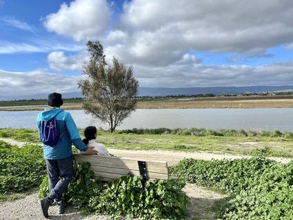
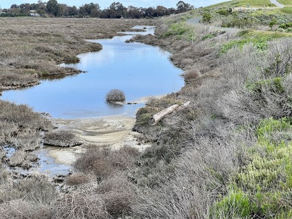
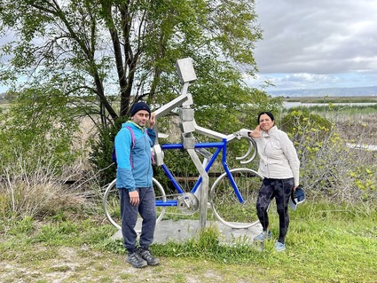
Have been sitting in the same place mostly listening to music or singing. That said, our hiking group leader who is recovering from surgery wanted to cheer up both of us by going on a small "walk" on flat terrain at the local Byxbee park. We have not walked this as it was not a challenge. "It is a walk, not a hike!" was our previous rhetoric. Given walking is now a blessing and hiking is ruled out, we went last weekend. 

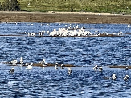
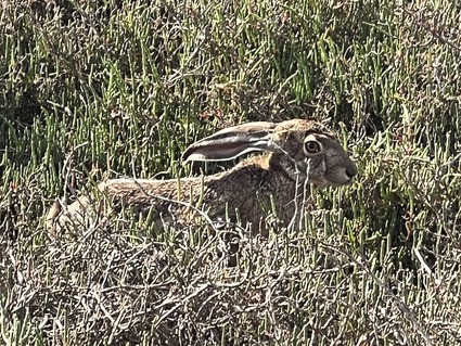
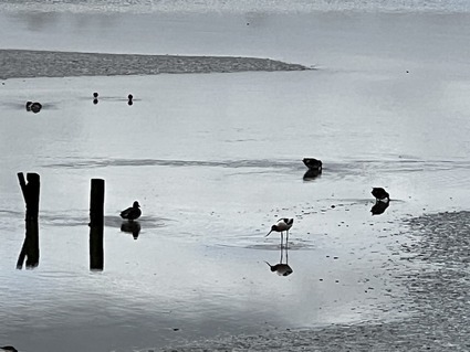
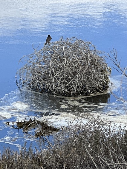
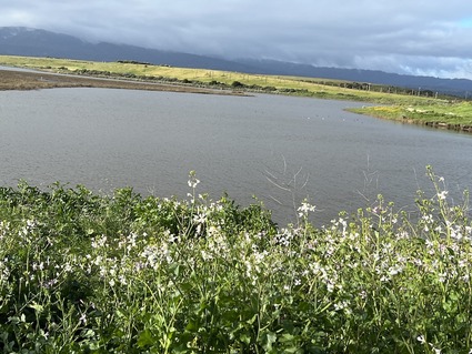
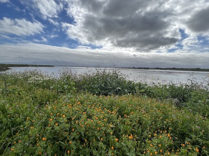
What was supposed to be a 3 mile walk ended up being 6.5 miles as we got some fresh enthusiasm watching the birds and the beautiful flowers all along the path. We also had a tea break in the middle of this!

It is good to be back with friends and on any walking path. We start slow.. hopefully the knee improves over time and normalcy returns.

Given the current situation, this was a morning well spent! Next time, will take the SLR and the telephoto lens with me to capture the birds better.. these are all iPhone photos.. 

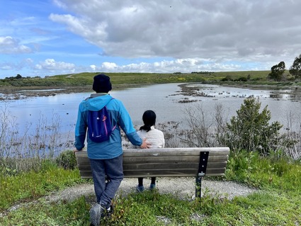
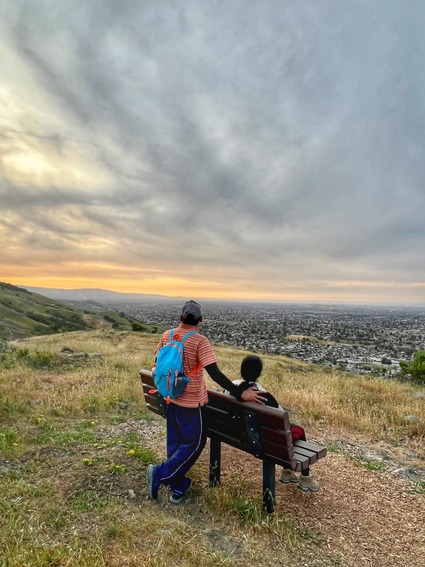
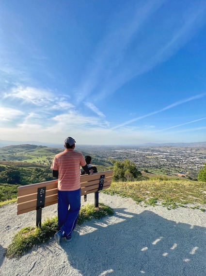
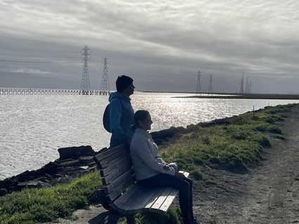
We did get a lot of "bench photos" for our collection!

A short video clip.. you get an idea of the birds and sounds.. this place was 30 minutes from home. We have never been to this place.. we mostly hit shoreline and back. It was just beautiful.

There was only 20 or so parking spots and we did have to wait for someone to leave so we could park. So go early and carpool where possible! 

Strongly recommend this place for a long "strol". 

Sunday
Sep042022

Black Mountain through Rhus ridge - a walk in the clouds

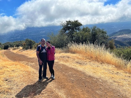
There were many hiking trips over the last two months that did not get even a mention in the blog. One such hike was to go to Black mountain through Rhus ridge. We had made two prior attempts to do this, but parking at Rhus ridge is limited to 8 or 9 spots. So if you go even at 6AM to start, you might end up parking a mile and a half out and walk. There is no parking nearby on the main road either. 
This one time we found parking and made it. This pretty much covers every appoach to Black Mountain. 

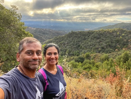
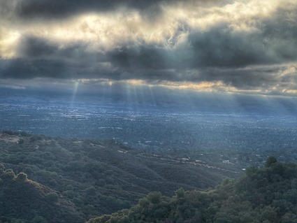
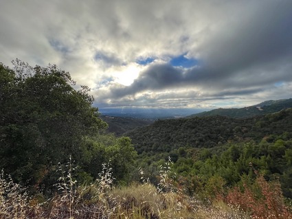
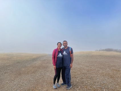
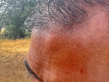
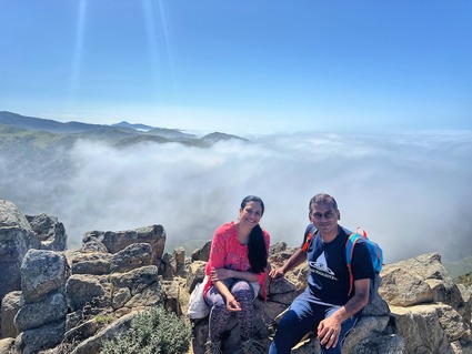
We had a great time on this hike, especially since there was no visibility for the last part of the hike. The clouds rolled in and we were walking in the clouds for an hour with water condensing on us. As usual we did have chai in the clouds!

This hike stayed with me because of the views that were so different.. Same black mountain.. but different!

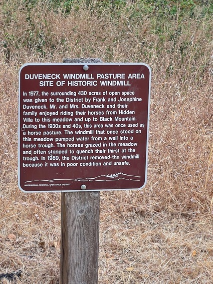
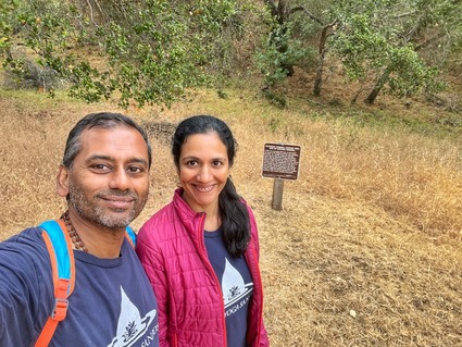
Then we got conned by a sign that said "historic windmill".. being a sucker for "historic", I encouraged the group to go see it even if added a mile to our hike. It was a letdown to see this sign after walking half a mile.

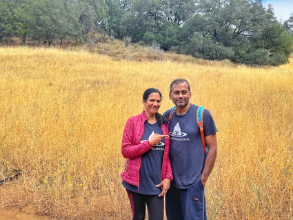
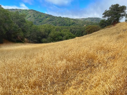
This is a public service announcement. There is NO WINDMILL to see.. however, the hike back up to the trail is a good cardio workout. The grass field also gives you a great contrast and nice pictures..

At one point we were sure it was going to start raining and we were not prepared for rain on a hike! Ended up being a good decision to keep going.. we were wet from the condensed water but by the time we made it down, it was okay. 

This hike was a familiar route with a new weather condition. Loved it. Nature has a way to make things interesting!

This hike was in June. We will try this route again in winter for a different experience!

Black Mountain never disappoints.

Sunday
Apr172022

Soberanes Canyon and Doud peak - the best of trails so far

After the quick visit to Garrapata to see the Lillies, we drove back just a few miles back north and stopped right in front of the bridge view on this park. Then we started hiking up the hills facing the ocean.

This is the Soberanes canyon trail and most of it was closed for a long time because the fire had started in this very canyon a few years ago. Most of this area is still closed and you hike at your own risk. Given we had a group of folks, we decided to take this on. You cross creeks and go through many distinctly different landscapes.. first there is a bunch of creeks, then there is an area full of catcus and before you know it, you are walking through redwoods.. and just like that, an open area with wild flowers!

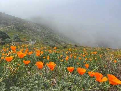
There is a section of this hike, which is the steepest we have climbed in two years. It is almost going up 1500+ feet in just over a mile. You also have to bend your knees and take tall steps. We took our time to go over this stretch but surprisingly, didn't feel the strain, as we were in the clouds for this part and the wild flowers were just amazing!

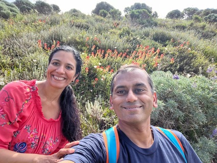
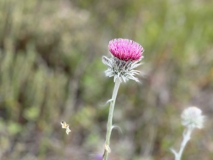
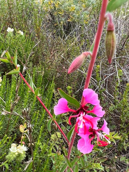
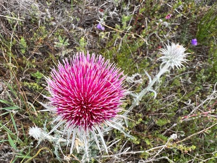
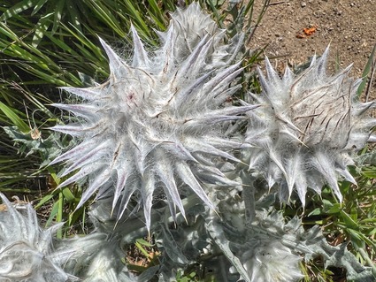
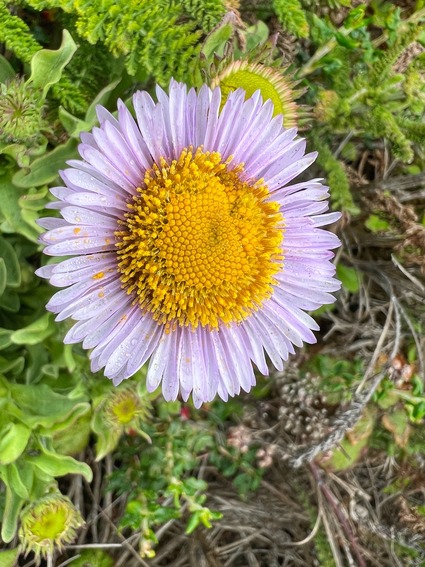
There was every type of California wild flower up there, in full bloom. It was a feast for the eyes the entire way up and down.

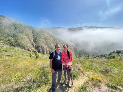
We had an amazing view of all the hills from above the clouds..

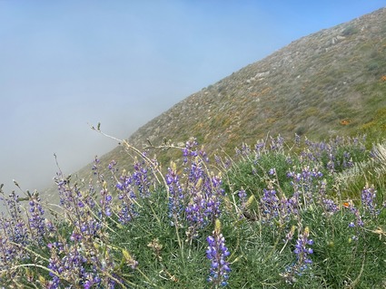
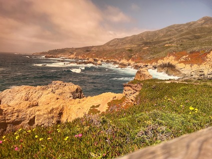
On the way down we took the longer route with a ocean view and the lupines make for amazing scenes!

once we got down, we ate a nice lunch, had our chai(for once we didn't carry chai to the top as we knew this was the hardest hike) and crossed the freeway to the bridge view points!

That kalandha saadham feast made sure that any calories burnt during the strenuous hike were instantly replenished and doubled in one tenth the time.. hiking is hard.. eating is easy.. there is a fundamental imbalance in the way we were designed, no?!

Took this one with the iPhone using my buddies sunglasses as a filter..

Again, beautiful views of the ocean. Not many lillies on this creek though.  The walkway was nice and after spending a good 15 minutes here, we raced back to beat the traffic! 

A gallery of the scenic photos.. 

This hike is not for novices. If you are not in decent shape, don't attempt this. There are parts where there is no trail.. the trail has been turned into a mini canyon by running water.. so you literally jump side to side and that does a number on your inner thighs! You can see it towards the end of the video..


After that hike and the drive back, it took a nice day to recover the legs!

Sunday
Apr172022

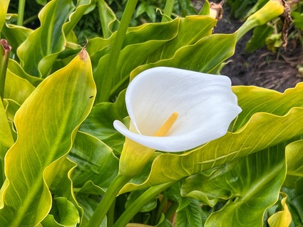
Calla Lillies at Garrapata State park

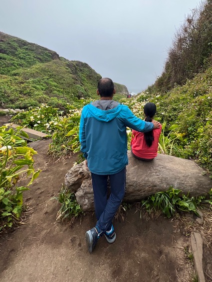
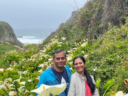
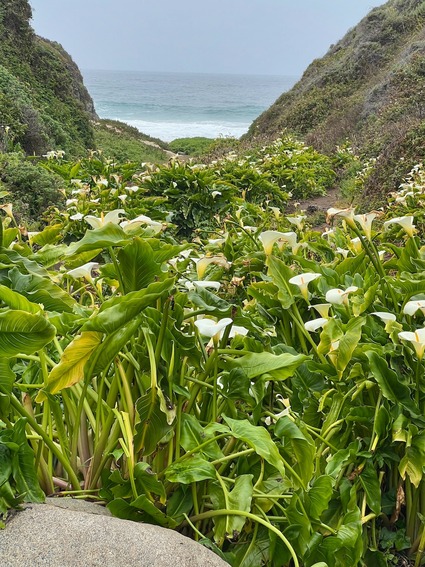
Three weeks ago we drove an hour and a half all the way to Garrapata State park area. The main goal was to go to Doud peak, which will be the subject of a separate post. We also wanted to leave early enough and take pictures among the white lillies that grow on either side of the creek as it goes into the ocean.

It is a local seasonal favorite, but we have never made it before. We saw posts on the net that said the lillies are already starting to turn brown, so before the window closed we visited.

We were not disappointed.. 

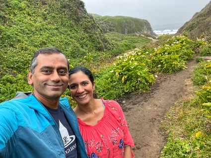
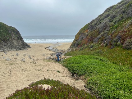
it was a misty walk to the beach among the lillies..

The new iPhone was put to test and it passed with flying colors..

especially the macro mode..

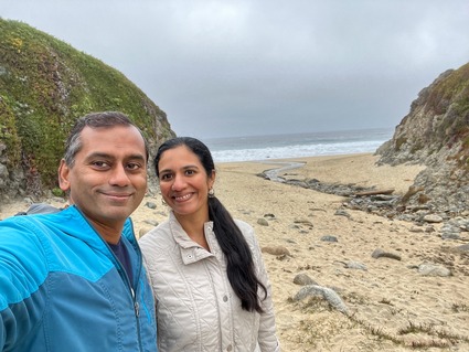
Nice beach. There were a lot of kids making their way to the beach as we were walking back. Given it is just a short walk from the freeway, this place would probably be crowded once the sun is out. It was good we finished this first!

had the beach mostly to ourselves..

We climbed up to the top and got a beautiful view of the coastline. Then we drove a few miles to go on our planned hike..

Strongly recommend this place, for a mid March or even early March trip. It is a beautiful sight!

Sunday
Mar202022

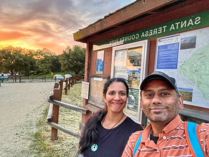
Santa Teresa County Park Loop trail

There is this absolute beauty of a trail right in Santa Teresa area. It is the hills next to IBM Almaden. There is a loop trail that starts from Joice trail and goes through Mine trail and Coyote trail, Hidden springs and Bernal Hill to the Vista loop trail. 

It is 8+ mile and pretty steep at places and takes around 4+ hours (by our standards). It is also ~2000 feet elevation gain. A decent workout and a "moderate" trail if you listen to the internet.. if you pace yourself! 

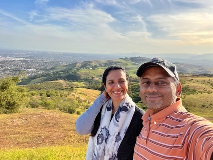
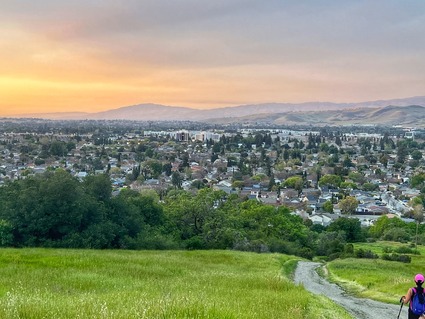
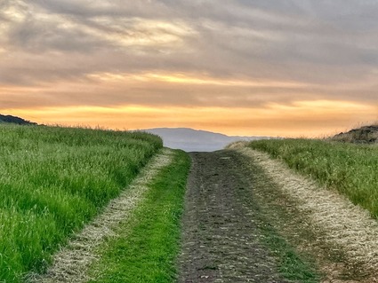
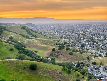
There is a part of this trail at the end that has zero cover. So it is best to do this as a very early morning or late evening hike. The sun setting over the valley is beautiful to watch from the ridge!

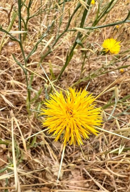
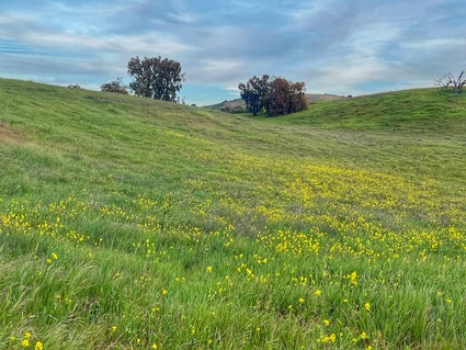
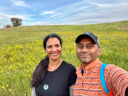
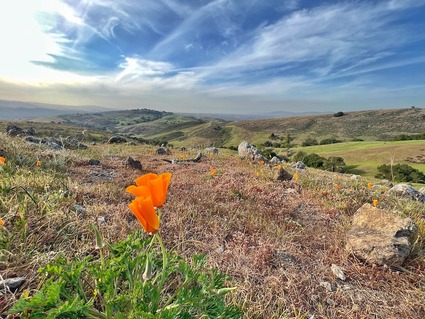
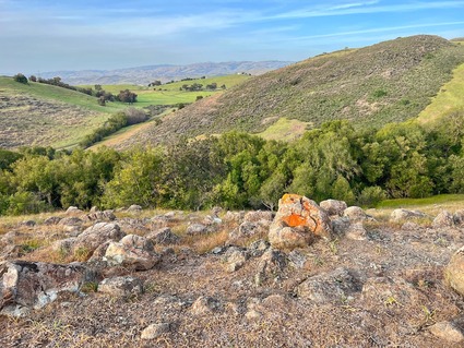
The flowers have started blooming across the hillsides.. the poppies should be there in a week or two to add a ton of orange to the yellows.. 

Strongly recommend this provided you have the right hiking shoes!

There is a one mile stretch on the way back where you are just walking on rocks and gravel. Not much of a path and the feet don't land evenly. Many of us almost twisted our ankles, but would still recommend it. 

Here are more pictures.. 

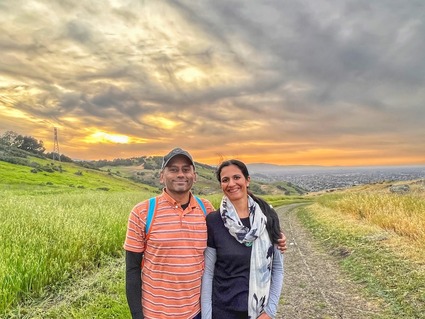
Thoroughly enjoyed this hike.. and the chai at the top of the summit! That is one good thing that has become tradition already over a year and a half of hiking! 

COVID got us started on hiking every weekend to a new trail in the local area. The fact that we have plenty of unexplored trails for months to come says a lot about the natural beauty of this area, the resources used to maintain these places and our luck in ending up in a place like this, in a time like this!

More trails to follow...