Didn't find it?
RSS feed from Feedburner

 Subscribe to this Blog ?


Sundar Narayanan's Travelog

↑ Grab this Headline Animator


Just another spider on the web
Squarespace
Powered by Squarespace
Archives
Blog Index
The journal that this archive was targeting has been deleted. Please update your configuration.
Navigation

Entries in landscapes (42)

Saturday
Jul302022

Mt. El Sombroso

I am taking a brief detour from the Banff posts to cover a local hike we did today. This is supposed to be one of the toughest hikes in the local bay area. 

The Kennedy trail to Mount El Sombroso, a series of hills that come in waves. It is very different from a go up and come down formula.. you keep going up and down for the last 3 miles.. so that makes it 6 miles of up and down on a ~14 mile hike. 

We left early enough but had to park across and walk. We were up in the clouds and fog fairly early but slowed down steadily over the next two hours. The views were amazing in spite of the sun because we were above the clouds for the most part. 

there were no benches on this trail...not much shade either!

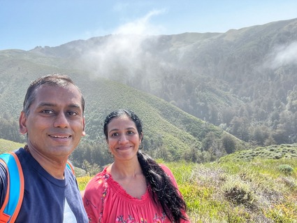
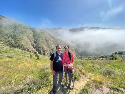
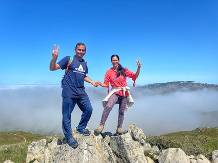
Two photos from this vista point that made my day.. (thanks to the two ladies who clicked these!)

As usual, we had chai at the top..

You can see Mt. Umunhum in the background. we were thinking that if it wasnt for the building on the top of that, this would be the tallest point in the range. we felt we were looking down on that mountain at one point!

The landscapes were amazing.. till the sun came out.. then there was a bluish tinge on everything.. maybe the fire in Yosemite is causing this?

you can see downtown San Jose under the cloud cover!

A video of the hike.. 

As a prep hike for Yosemite, this one comes close.. definitely more challenging than Mission peak! 

Strongly recommend this hike, if you can leave early enough and avoid the sun beating down on you relentlessly.. take enough water. We underestimated how much water we needed today and slowed down the last few miles because of that!

The trail is slippery in the gravel areas and pretty steep at places. They call it a tough hike for a reason!

All is well that ends well. I am tired but have a sense of accomplishment! Hope this trend continues...

Saturday
Jul232022

Hiking to a summit in Banff
The previous post in this series is here..

Right before entering Banff on the return bus journey from the Glacier, our driver/guide mentions that there is still a few hours for sunset and points to teh local mountain..

"there is a trail from the trail head parking lot that takes you straight to the top of tunnel mountain. it is the highest point in Banff on this side of the river" it is a 4 mile hike and you can do it in a little over 2 hours if you are healthy! it is all a bunch of switch backs that pretty much goes straight up!" 

We googled it and found that this was like going up the last part of Rhus ridge. . after a long day, it was a toss.. but it was only 6:30PM and so we (nay, she..) decided that we will try to summit Tunnel mountain and be back down by 8:30 and have a late dinner before heading back to the hotel. 

The agreement was "no pictures till we reach the summit. That way we can go to the top while we still have energy. On the way back there can be pictures!" . Our entire hiking is group is aware of how I feel about going up without stops. This was the one part of the trip that I did not like signing up for.. hiking alone with San, where she gets all demanding and starts to insult my lack of pace etc.. I like my 20 second standing Shavasanas after every 10 minutes of hiking. This was one straight up hike with no gaps. Kept my mouth shut and kept going as fast as I could. Eventually we made it to the top and were lucky to find a dad and his toddler up there. We got pictures (so did he) and we made the walk back down.. this time I was allowed to take a few pictures. 

This worked out well because the sun was in our face at 6:30 and had gone down by the time we walked back. So the photos came out better than they would have two hours earlier. 

Another one of San's great clicks on this trip.. It is strange for me to hand my camera to her now to take pictures instead of trying to find someone in the crowd who knows how to handle a camera. All good.. (lateaa vandhaalum latestaa vandhirukkaa)

How Banff looks from the top of Tunnel Mountain summit!

We made it back in an hour and 45 minutes and were at the Indian Curry house for a nice hot masala Chai and a delicous dinner! 

We were on our way out and checking out the souvenir shops when it started pouring. We ran to our car and realized there was a parking ticket on the car! we should have used a pickup from our hotel in the morning. 

The road signs in Banff are very bad. I wanted to contest the ticket as there was no sign in the place I parked, but they don't have a way to contest. Apparently the town of Banff is starting to try and improve their parking ticket revenue in recent months. It was not this bad pre COVID per some other tourists and locals we talked to. 

We were happy after all the nature and adventure for the day.. so we just folded the ticket and planned to deal with it later and moved on! 

Here is a tip. Just park in a paid parking lot in the four blocks that comprise Banff downtown.. you are better off that way. 

Here is another tip. Hike tunnel mountain to the summit right around sunset. You get beautiful views on the way back of the entire Banff town and surrounding hills. 

Ending this post with a picture of us.. face showing this time.. from the nice red chairs almost at the summit.. Banff has these two matching red chairs in a lot of highlight places. Loved them!

Finally finished blogs of day 2!  Day 3 had a lot more stops. We had hiked 12 miles on day 2 and we did 16+ on day 3. We hiked a toal of 38 miles between Friday night 8PM to Monday 11AM.The bar keeps going up as we travel these days.

Day 3 posts, starting tomorrow.

Saturday
Jul162022

Surprise point and Bow falls trail - Banff National Park

The previous post on this series is here..

After dinner, we drove to the surprise point outlook and took a walk. You get a beautiful view of the historic Fairmont Hotel while hearing the roaring sound of the water going between the view point and the hotel.

we had purple skies!

It was us and another asian couple there at the vista point. We were happy to see someone else there as they were! we took photos for each other and off we went to the Bow falls trail. 

This is an amazing trail. Well maintained, just gorgeous attention to detail.. 

then there is the falls.. it is wide and the water flow is something to see! The setting sun (at 10PM) made for interesting hues. By the time we went up the trail and took the photo on the bench (at the top of this post) and got back down, the rest of the folks were gone. We had spent an hour and a half here without realizing it. The walk was not tiring and we were smiling from ear to ear! This place was just beautiful and fresh and inspiring! 

It started getting a little chilly at that point and we decided we had spent good time here. We got back to the hotel and it was still bright out. The sunlight finally went down at 10:30 PM and I could make out the light through the shades even at 11! We had to get some sleep as there was a long full day planned for Saturday. Banff is one hour ahead in time compared to California, so it was still early for us to sleep, but we closed all the blinds (reminded us of Alaska!) and got some shut eye!

This video shows you bow falls and the beautiful trail..

Had I known it was going to be this pretty, would have rushed to the hotel to grab the SLR as well.. after this, had the SLR on me throught the rest of the trip!

If you visit Banff, check sunset timings and dress accordingly to see bow falls at sunset time or golden hour.. just breathtaking!

Not to be missed!

Sunday
Apr172022

Soberanes Canyon and Doud peak - the best of trails so far

After the quick visit to Garrapata to see the Lillies, we drove back just a few miles back north and stopped right in front of the bridge view on this park. Then we started hiking up the hills facing the ocean.

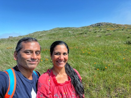
This is the Soberanes canyon trail and most of it was closed for a long time because the fire had started in this very canyon a few years ago. Most of this area is still closed and you hike at your own risk. Given we had a group of folks, we decided to take this on. You cross creeks and go through many distinctly different landscapes.. first there is a bunch of creeks, then there is an area full of catcus and before you know it, you are walking through redwoods.. and just like that, an open area with wild flowers!

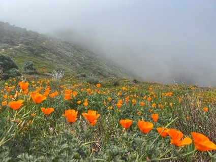
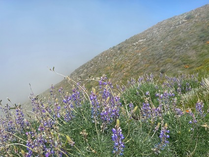
There is a section of this hike, which is the steepest we have climbed in two years. It is almost going up 1500+ feet in just over a mile. You also have to bend your knees and take tall steps. We took our time to go over this stretch but surprisingly, didn't feel the strain, as we were in the clouds for this part and the wild flowers were just amazing!

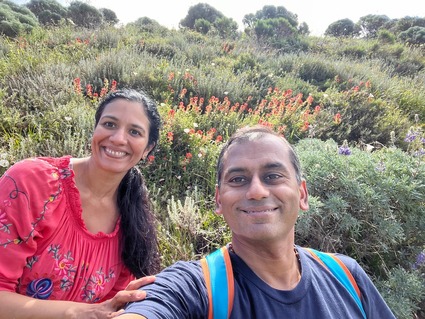
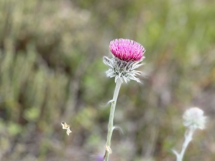
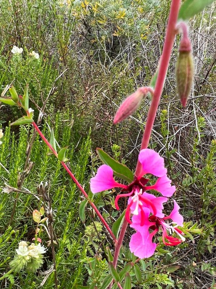
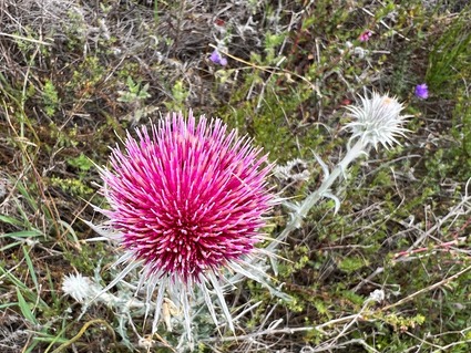
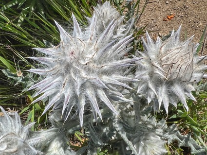
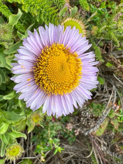
There was every type of California wild flower up there, in full bloom. It was a feast for the eyes the entire way up and down.

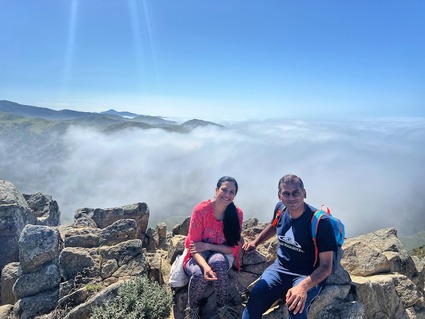
We had an amazing view of all the hills from above the clouds..

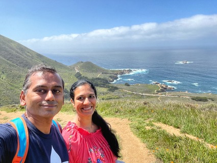
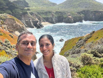
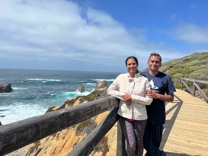
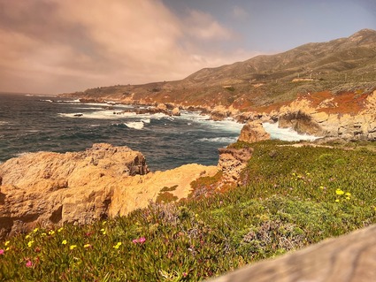
On the way down we took the longer route with a ocean view and the lupines make for amazing scenes!

once we got down, we ate a nice lunch, had our chai(for once we didn't carry chai to the top as we knew this was the hardest hike) and crossed the freeway to the bridge view points!

That kalandha saadham feast made sure that any calories burnt during the strenuous hike were instantly replenished and doubled in one tenth the time.. hiking is hard.. eating is easy.. there is a fundamental imbalance in the way we were designed, no?!

Took this one with the iPhone using my buddies sunglasses as a filter..

Again, beautiful views of the ocean. Not many lillies on this creek though.  The walkway was nice and after spending a good 15 minutes here, we raced back to beat the traffic! 

A gallery of the scenic photos.. 

This hike is not for novices. If you are not in decent shape, don't attempt this. There are parts where there is no trail.. the trail has been turned into a mini canyon by running water.. so you literally jump side to side and that does a number on your inner thighs! You can see it towards the end of the video..


After that hike and the drive back, it took a nice day to recover the legs!

Sunday
Apr172022

Calla Lillies at Garrapata State park

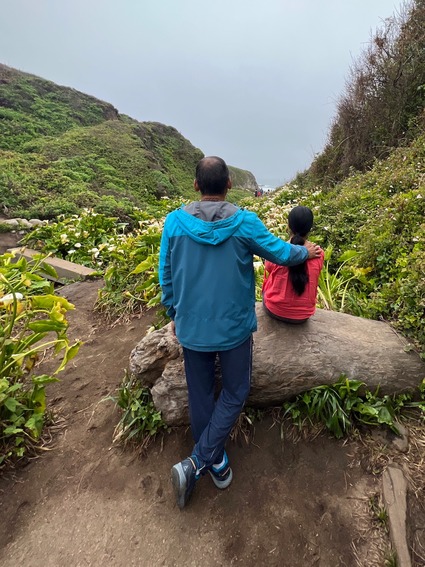
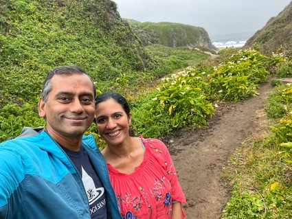
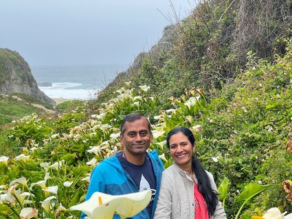
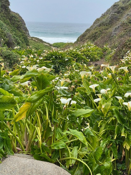
Three weeks ago we drove an hour and a half all the way to Garrapata State park area. The main goal was to go to Doud peak, which will be the subject of a separate post. We also wanted to leave early enough and take pictures among the white lillies that grow on either side of the creek as it goes into the ocean.

It is a local seasonal favorite, but we have never made it before. We saw posts on the net that said the lillies are already starting to turn brown, so before the window closed we visited.

We were not disappointed.. 

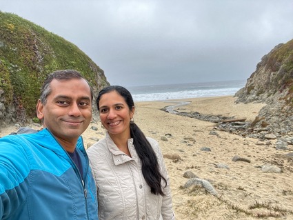
it was a misty walk to the beach among the lillies..

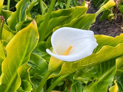
The new iPhone was put to test and it passed with flying colors..

especially the macro mode..

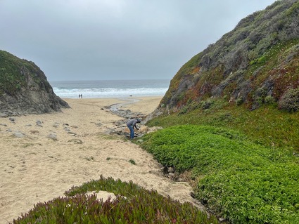
Nice beach. There were a lot of kids making their way to the beach as we were walking back. Given it is just a short walk from the freeway, this place would probably be crowded once the sun is out. It was good we finished this first!

had the beach mostly to ourselves..

We climbed up to the top and got a beautiful view of the coastline. Then we drove a few miles to go on our planned hike..

Strongly recommend this place, for a mid March or even early March trip. It is a beautiful sight!

Page 1 ... 3 4 5 6 7 ... 9 Next 5 Entries ยป